


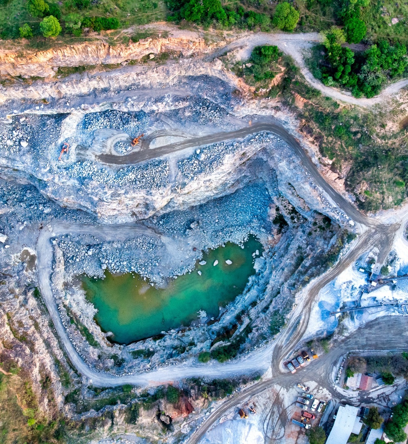
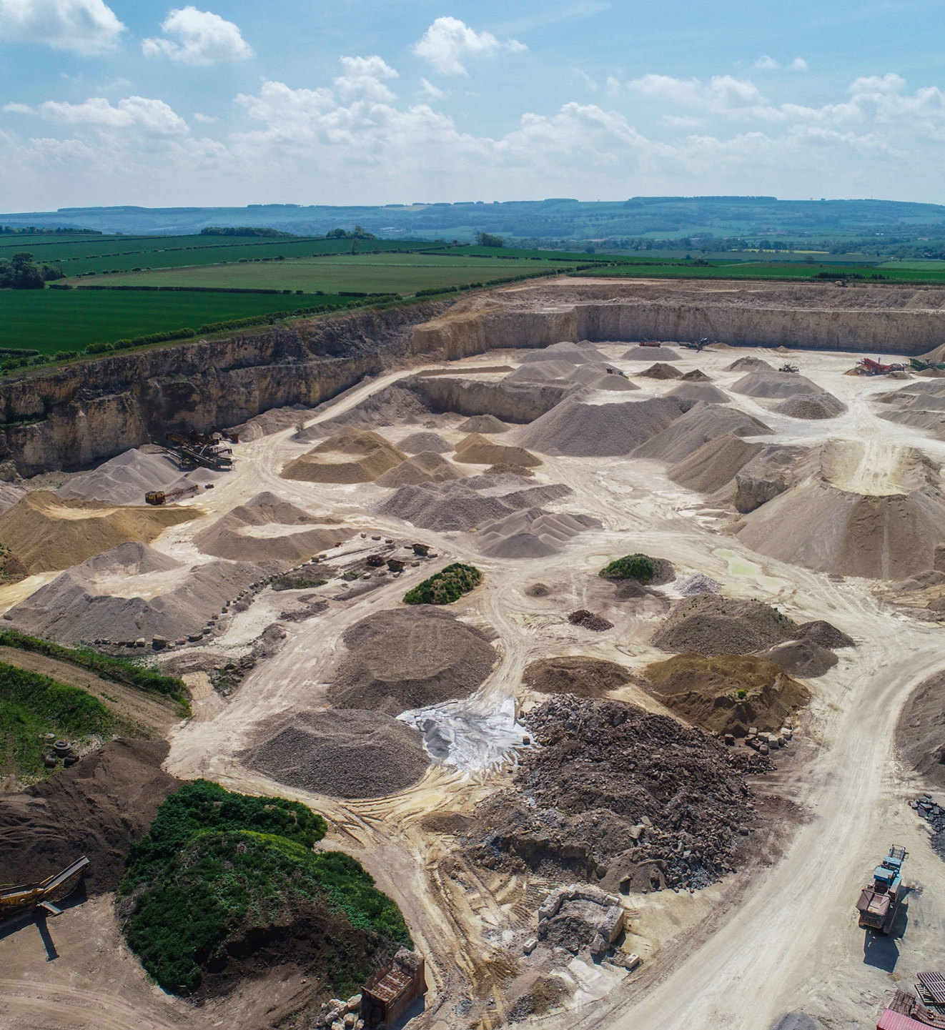
DRONE STOCKPILE QUANTIFYING
Fast and accurate volume measurement for stockpile quantifying.
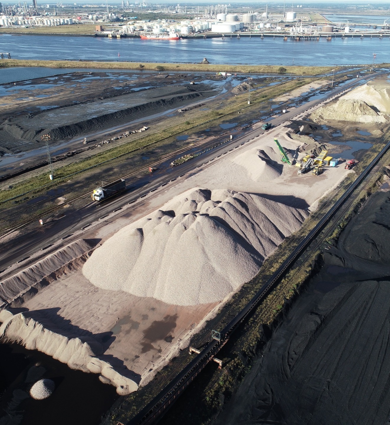
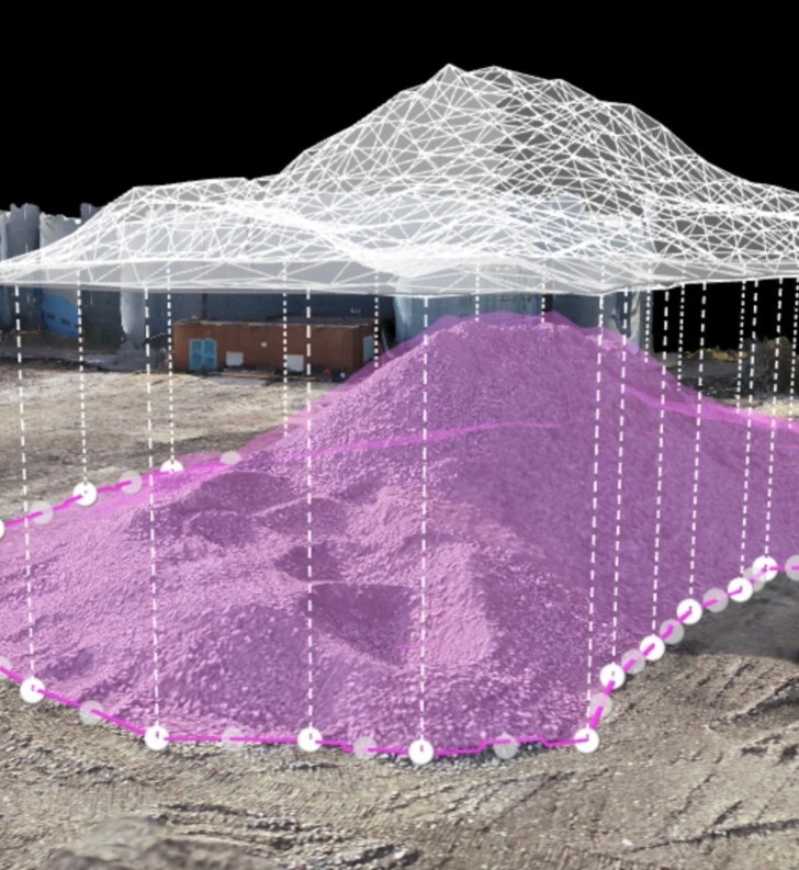
Dee4Drones help you manage your stockpile inventory. Finding a solution for accurate volume measurement and easy inventory management is one of the biggest challenges in the aggregates industry. Stockpiles do not conform to a perfect shape. A photogrammetric survey with a fine ground sampling distance (GSD, which indicates the actual distance each pixel represents) is able to better describe irregular stockpiles in detail. Our drones will provide high-resolution photogrammetric results to create more precise stockpile models. Resulting in better volume measurements than ones interpolated from certain measured points.

STOCKPILE QUANTIFYING PRICES START FROM JUST £325
Contact us for a no obligation quote or to discuss your requirements

TESTIMONIAL
"We have used Dee4Drones to measure aggregate stockpiles for year end valuations for the last 2 years. The service is prompt, professional and efficient. So much better than a measuring wheel and clinometer! Richard has provided us with plans using his drone showing the incremental fall of land to assist us with the laying of landfill gas pipe. Thank you for an excellent service!"
Mark Mewburn, Sandsfield Gravel Co Ltd
Landlord or Estate Agent?
Dee4Drones can photograph and accurately map the interior and exterior of your properties using our drone and 3D technology.