
AERIAL SITE MAPS & SURVEYS
Drone site surveys typically involve mapping the terrain, layout, contours and natural or man-made features on your land or site. These might include buildings, boundaries, roofing, pathways or utilities.

ROOFING SURVEY PRICES START FROM JUST £195
Contact us for a no obligation quote or to discuss your requirements

Roofing Surveys & Property Inspection
Obvious or unforeseen, roof and property problems are always a pain and undoubtedly a significant expense either for the impacted individual or company alike. When faults are out of sight you can have the reassurance of clear images to identify what is the root cause of the problem.
Pin point a problem ● Routine maintenance reports ● Satisfy insurance needs ● High resolution images ● 2D or 3D building maps ● Much cheaper than scaffolding ● Send images to prospective tradesmen ● Same day results
2D & 3D Mapping
Mapping and geographic information visualisation makes a real difference to support correct decision making. State of the art technology allows the drone to quickly translate captured data into a mapping format to meet your requirements.
Area planning ● Distance from A-B-C ● Angles ● Elevation reports ● Changeable 3D images of site

TESTIMONIAL
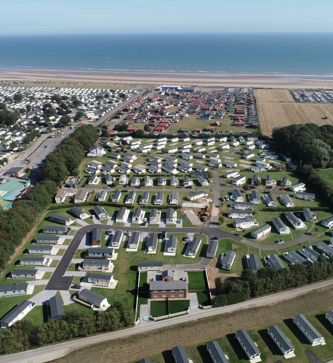
"We have been working with Richard this year to provide our potential customers a better visual experience with viewing our holiday park and associated amenities. Richard is extremely approachable and flexible and works seamlessly around our requirements. We are very impressed with the quality of the drone footage, still photographs and virtual tour of our facilities and are now excited to clearly demonstrate to potential customers what we can offer from the comfort of their own home."
Beachcomber Holiday Park

Landlord or Estate Agent?
Dee4Drones can photograph and accurately map the interior and exterior of your properties using our drone and 3D technology.


