


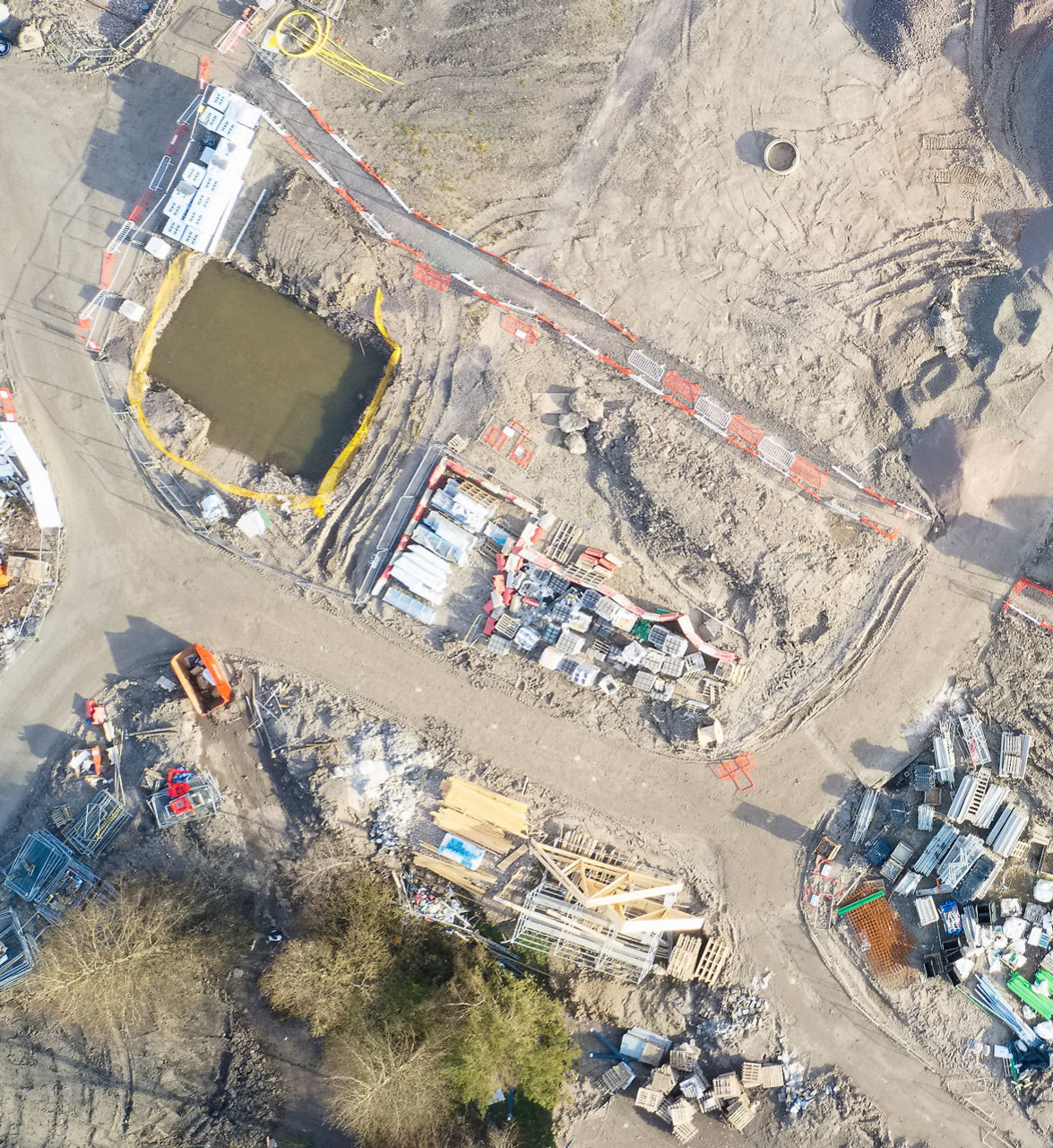
FAST AND EFFECTIVE BUILDING PLANS FOR THE CONSTRUCTION INDUSTRY
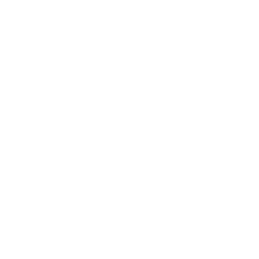
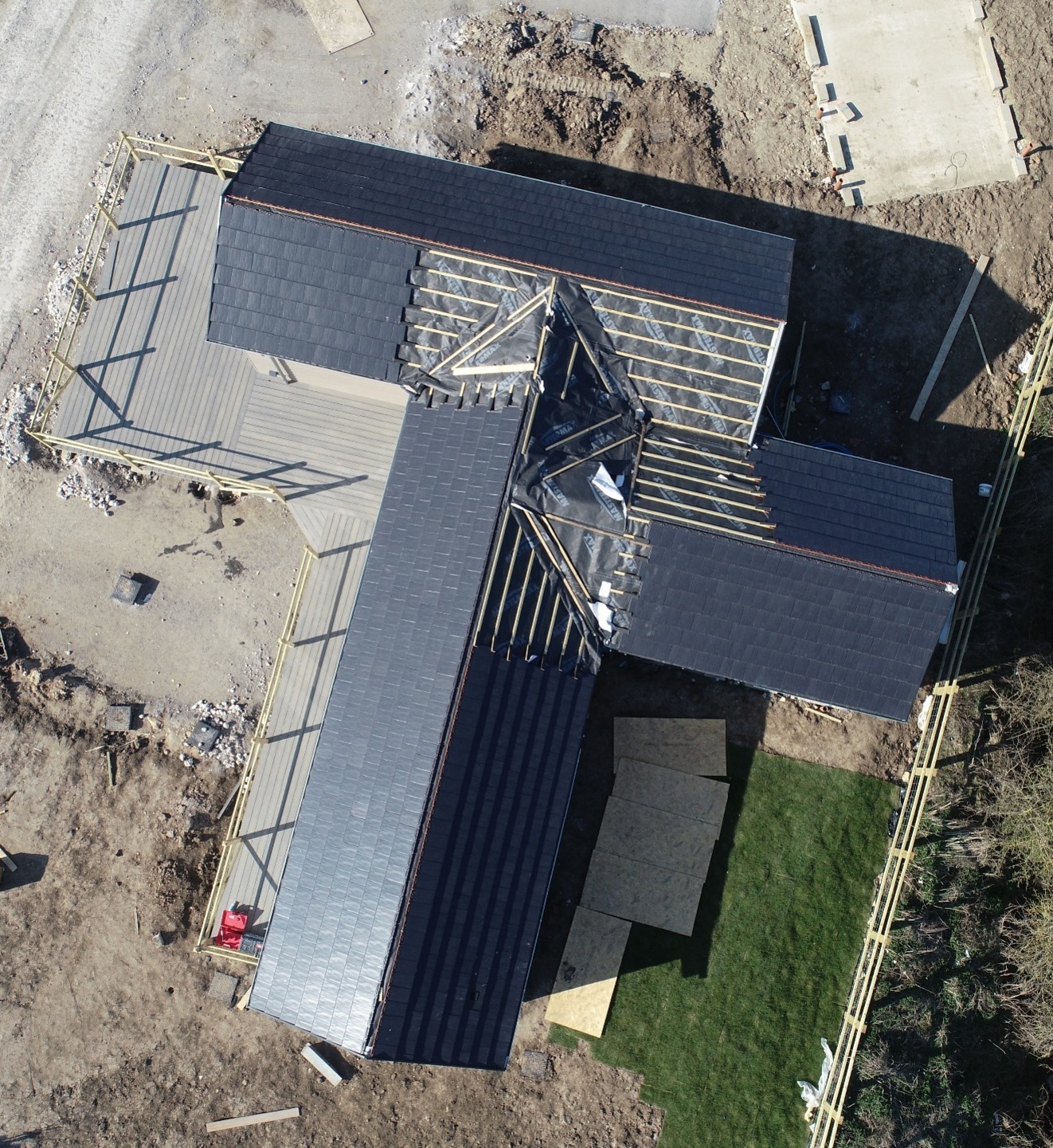
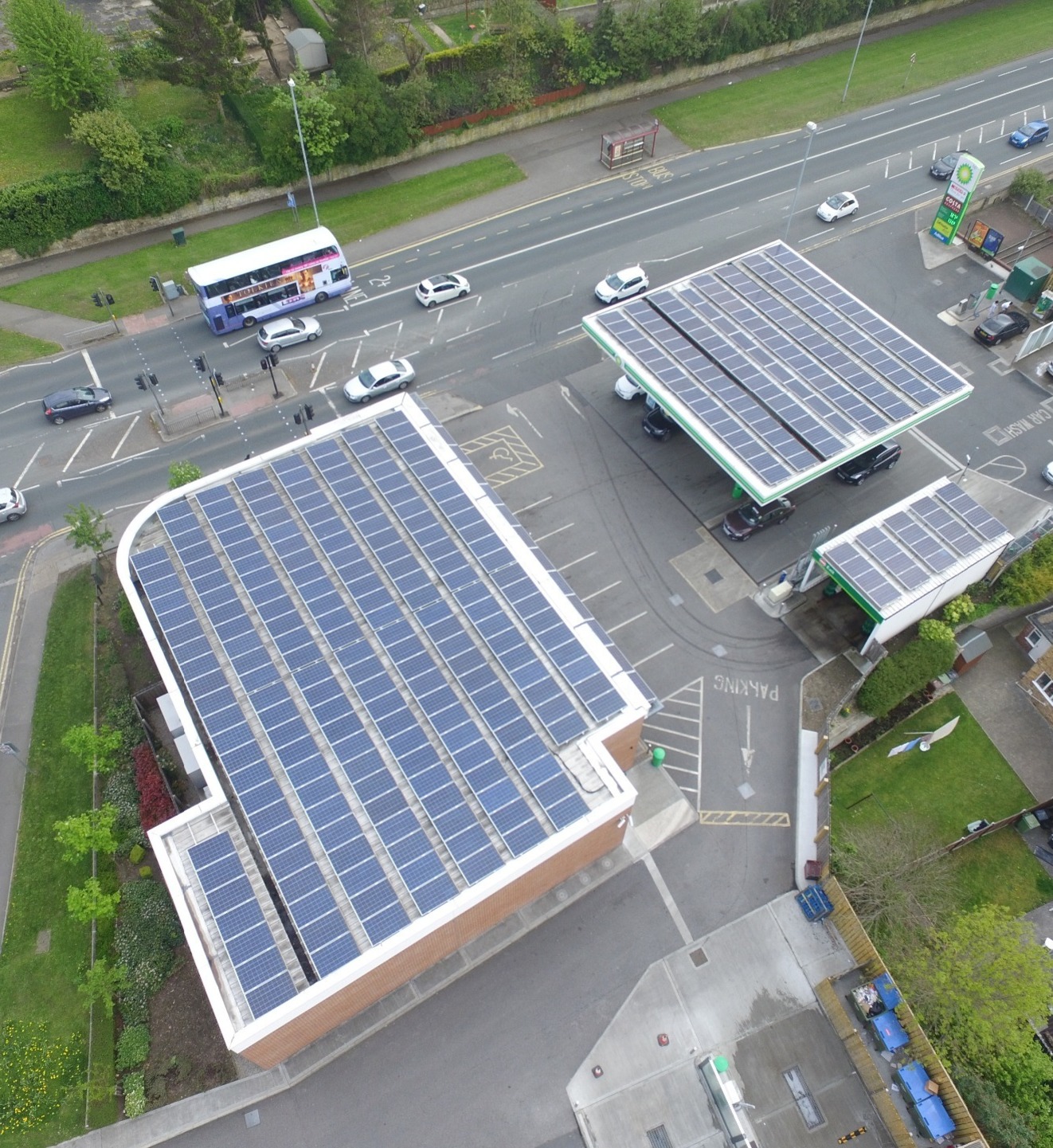
From a greenfield site to a finished housing estate, industrial buildings, farm sheds or 2D & 3D mapping, drone technology can be an extremely useful tool for anyone working in the construction industry. Overlayed maps from the greenfield or brownfield site can be relayed to your workforce in under 24hours. Construction site aerial photography can show every stage of a development from planning, foundations, building topping out through to completion. There is no better way of getting an overview progression of a construction site that by using aerial pictures.
2D & 3D maps ● Site planning ● Volume measurements ● Elevation reports ● Distance & area calculations ● Pin point accuracy ● Land levels ● Streamline info/maps to your desktop ● Progress reports

CONSTRUCTION PLANNING PRICES START FROM JUST £325
Contact us for a no obligation quote or to discuss your requirements

BUILDING MEASUREMENTS
Our drones allow you to easily measure the exact area of a building. We can calculate; Length, Angle, Area, Slope

TESTIMONIAL
"We explained what was required and arranged a convenient time for Richard to visit the site. Richard arrived on time and soon had his drone launched taking photographs and videos. We received the files later the same day by email and we're extremely pleased with the number of shots, variety, clarity and quality of the pictures and footage. From our first contact through to receiving the files we really cannot fault the excellent and professional service we received. We will certainly be using dee4drones again."
Kim, Saxon Holdings Ltd.

Landlord or Estate Agent?
Dee4Drones can photograph and accurately map the interior and exterior of your properties using our drone and 3D technology.