


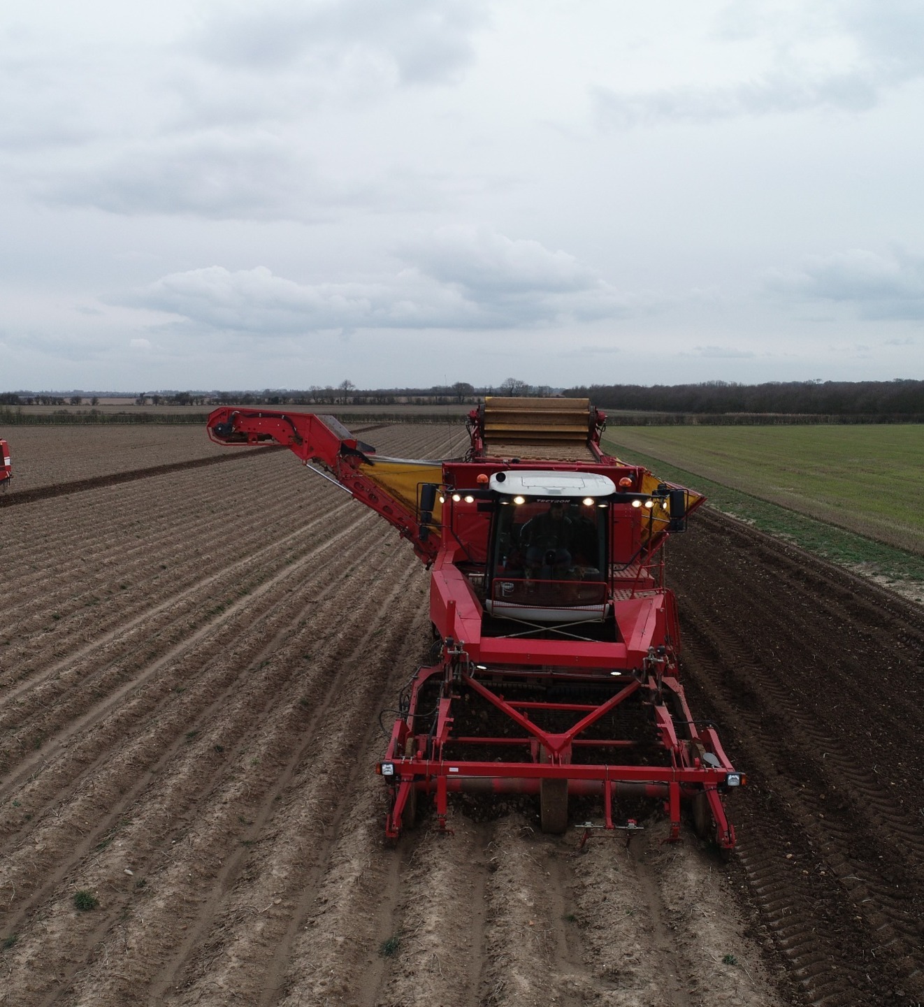
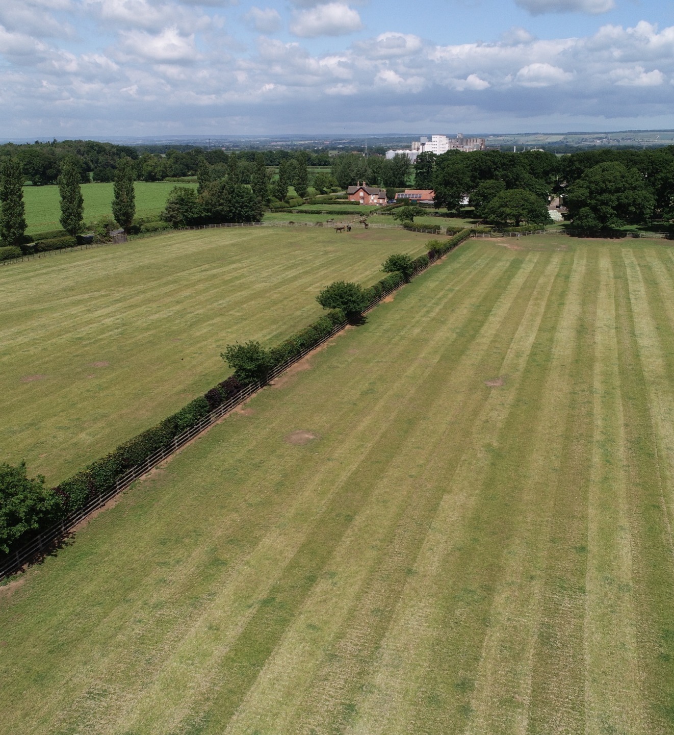
AGRICULTURAL DRONE ANALYSIS
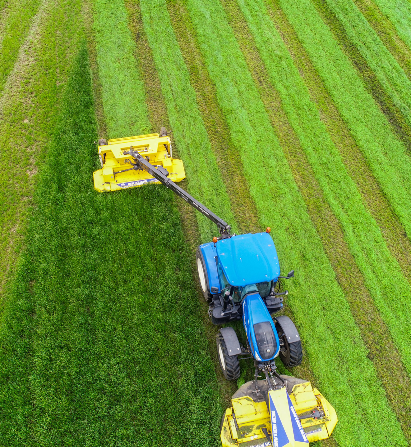
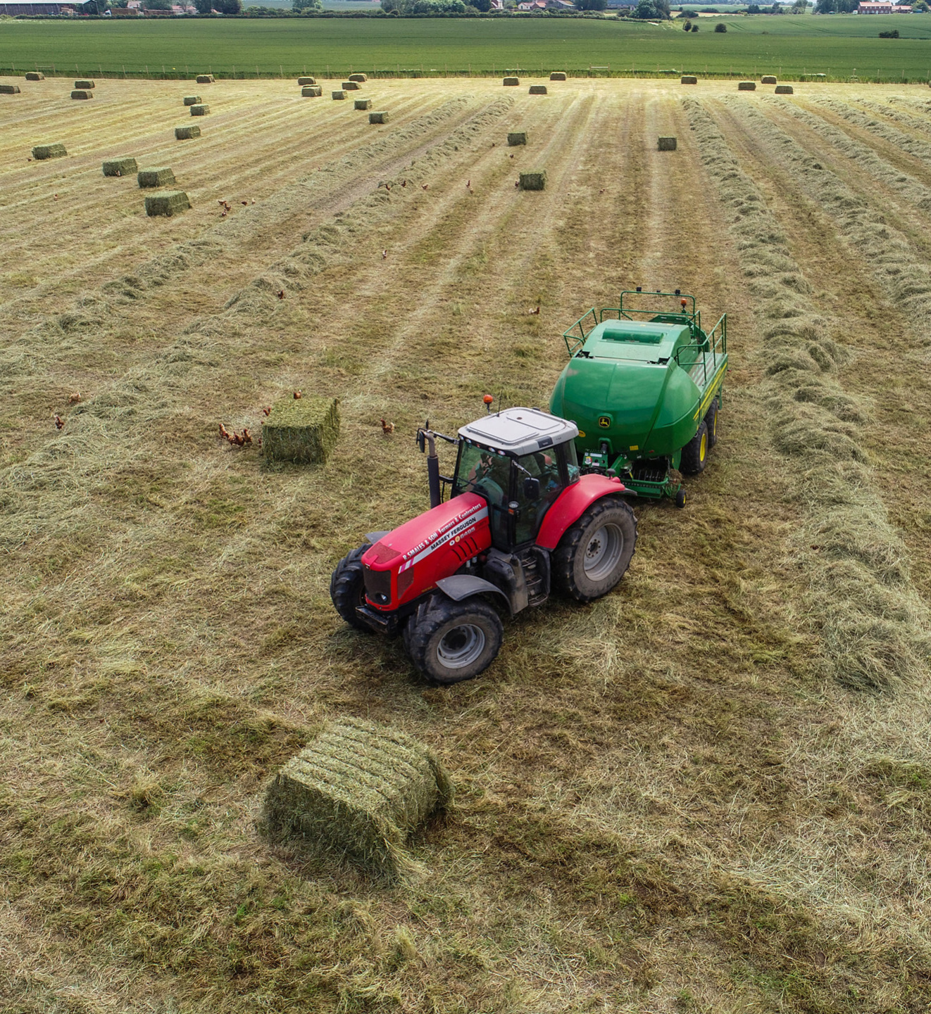
Helping you work smarter by analysing your crops accurately. The agriculture industry was an early adopter of drones to monitor crops and make the necessary changes for them to thrive. Our packages help with crop management decisions, increased crop production and improved timely and on-demand response. Traditional crop monitoring methods using ground surveys have their limitations, in terms of cost, resolution and time to deployment.
AGRICULTURAL ANALYSIS PRICES START FROM JUST £225
Contact us for a no obligation quote or to discuss your requirements

TESTIMONIAL
"Richard Dee at dee4drones has produced drone work for J & A Smales for over six years. He is very reliable and his work is of a very high standard. We would highly recommend Richard and dee4drones for any project you have in mind."
Wendy, J&A Smales

Landlord or Estate Agent?
Dee4Drones can photograph and accurately map the interior and exterior of your properties using our drone and 3D technology.